
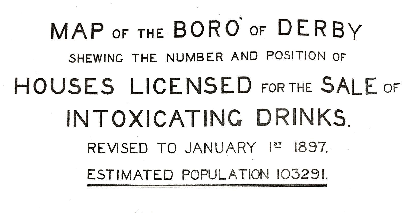
When visiting the Derby Local Studies and Family History Library, I happened to mention my interest in ‘The Shamrock‘ and the enormously helpful staff located a map out the back – Map of the Boro’ of Derby shewing the number and position of Houses Licensed for the Sale of Intoxicating Drinks.
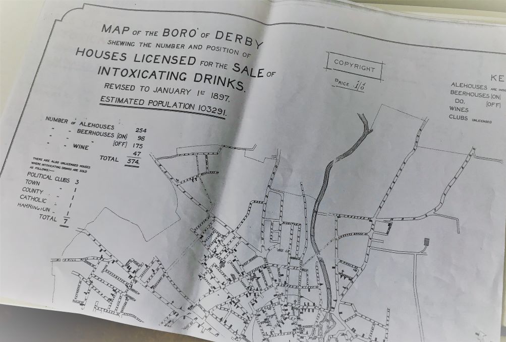
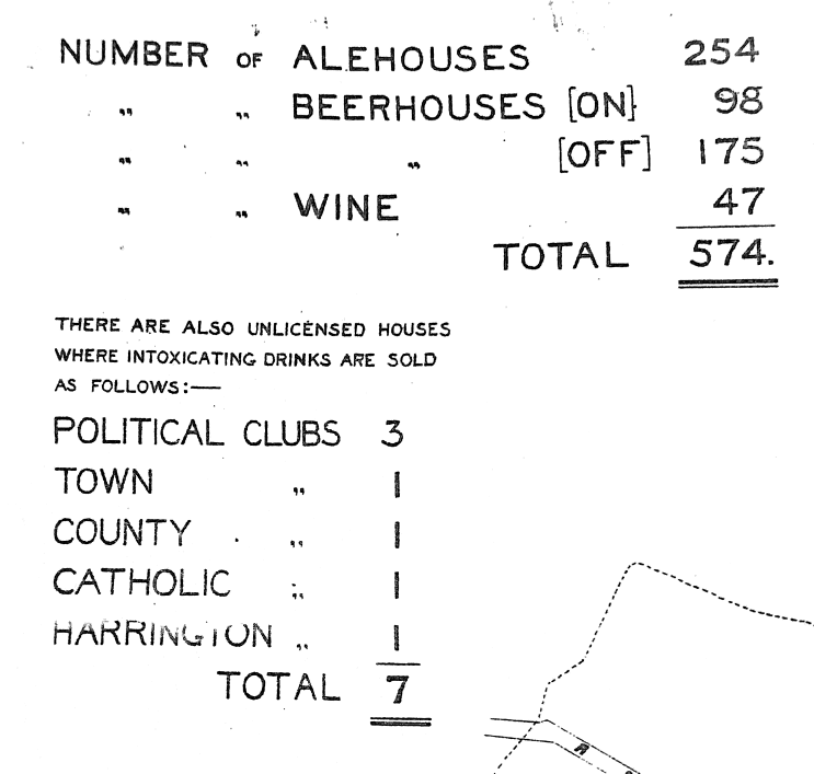
This map was produced seemingly to illustrate a problem. According to the figures, a total of 574 premises for a rather precise ‘estimated population’ of 103291 circa 1897, meant there was a licensed drinking house for roughly every 179 people. But not only does the map give me an insight to the lifestyle and issues of the area, it has also been helpful to pinpoint a more precise location for The Shamrock.
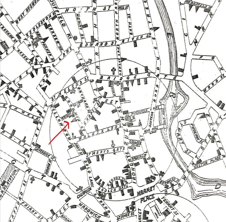
From research outlined in the previous post, The Shamrock was a licensed beerhouse located on Goodwin Street between 1857 and 1908. The map shows 5 establishments on Goodwin Street alone:
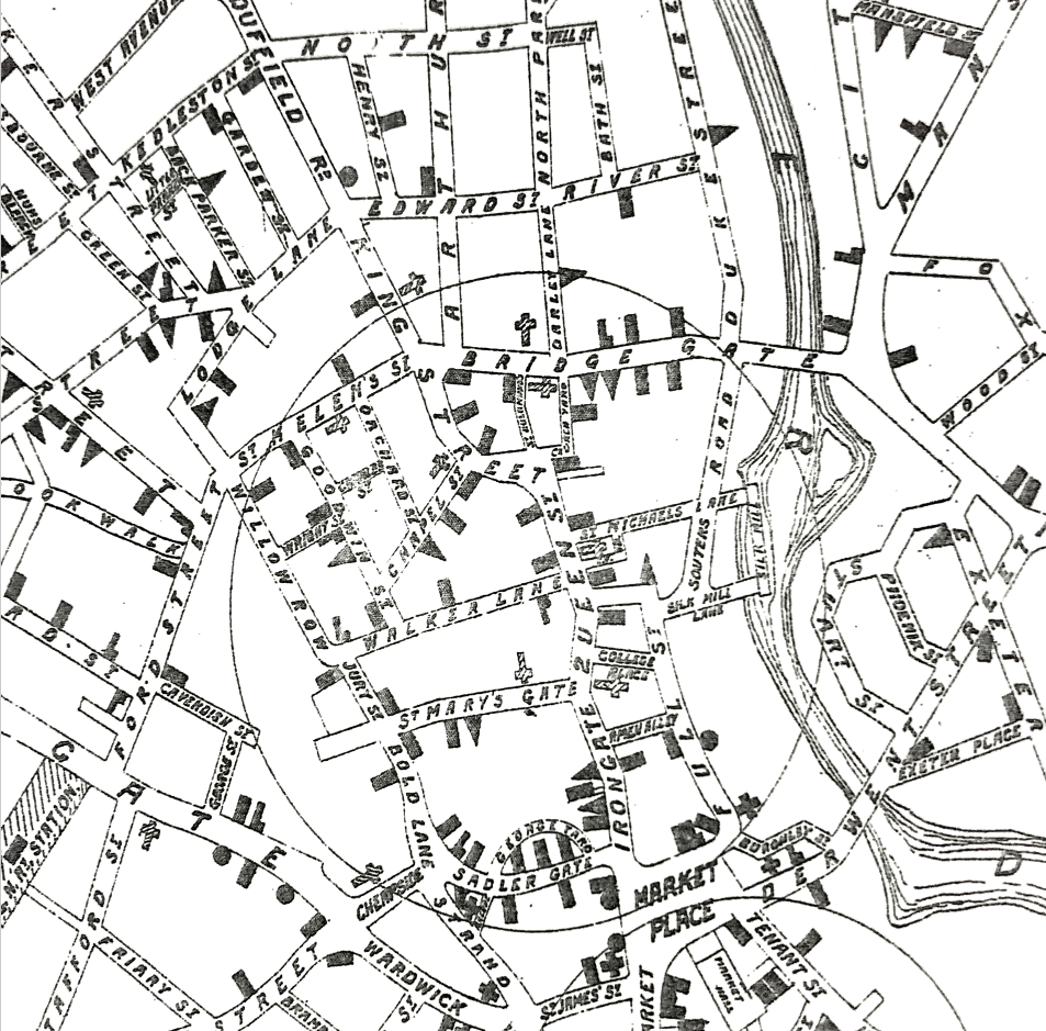
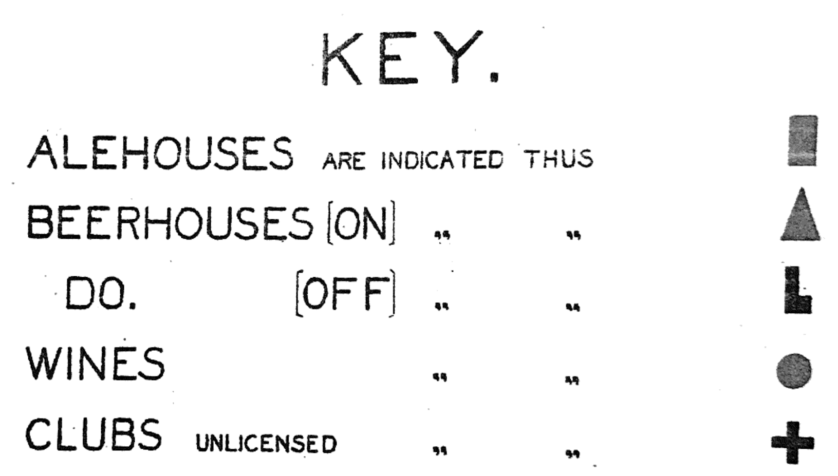
The key helpfully narrows things down by identifying each type of drinking house. Therefore, the location of The Shamrock must have been located at the triangle symbol:
Unfortunately the area was demolished in the 1930s so I am unable to visit the actual building, but having this map somehow makes me feel a little better about that.
The area according to my dad who was brought up in Goodwin street was demolished in the 1950s as he was born in 1935 he lived there until he came out the army in Sept 1955 where half if that area had been demolished..his house was still standing. Not long after they moved to Addison road. The pub he remembers there was the Duke of Devonshire